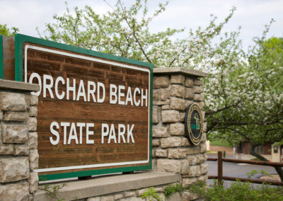
Trails in Manistee County
North Country Trail
Part of Manistee County’s Trail System
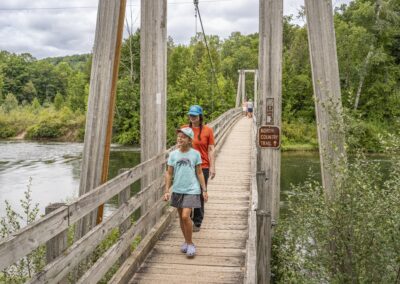
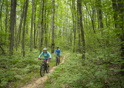
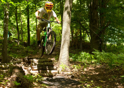
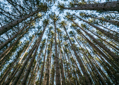
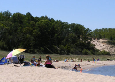
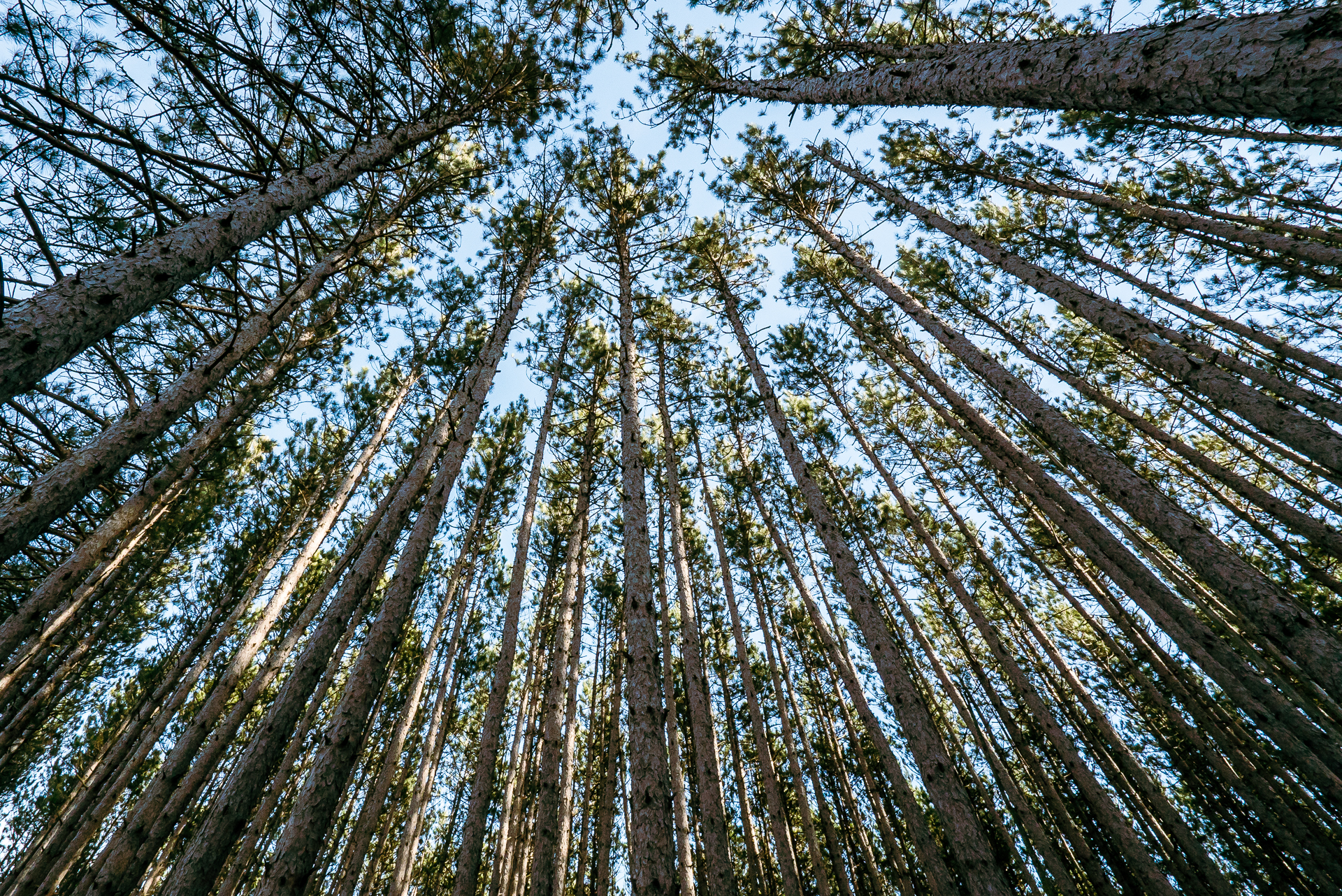
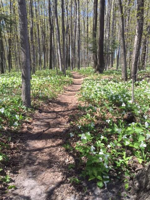
Nestled in the Manistee National Forest you will find hundreds of miles of marked trails for those who love to hike, bike, or in the winter, cross country ski and snowshoe. Which trail should you choose for your weekend adventure? We suggest the North Country Trail & Manistee River Trail loop as your introduction to hiking in Manistee County.
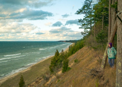
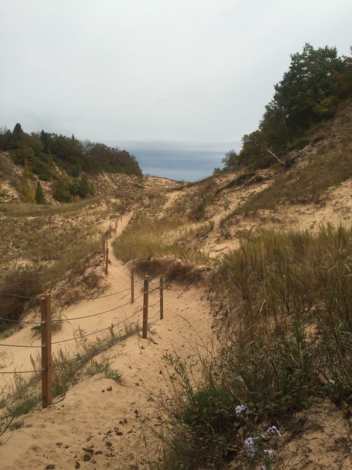
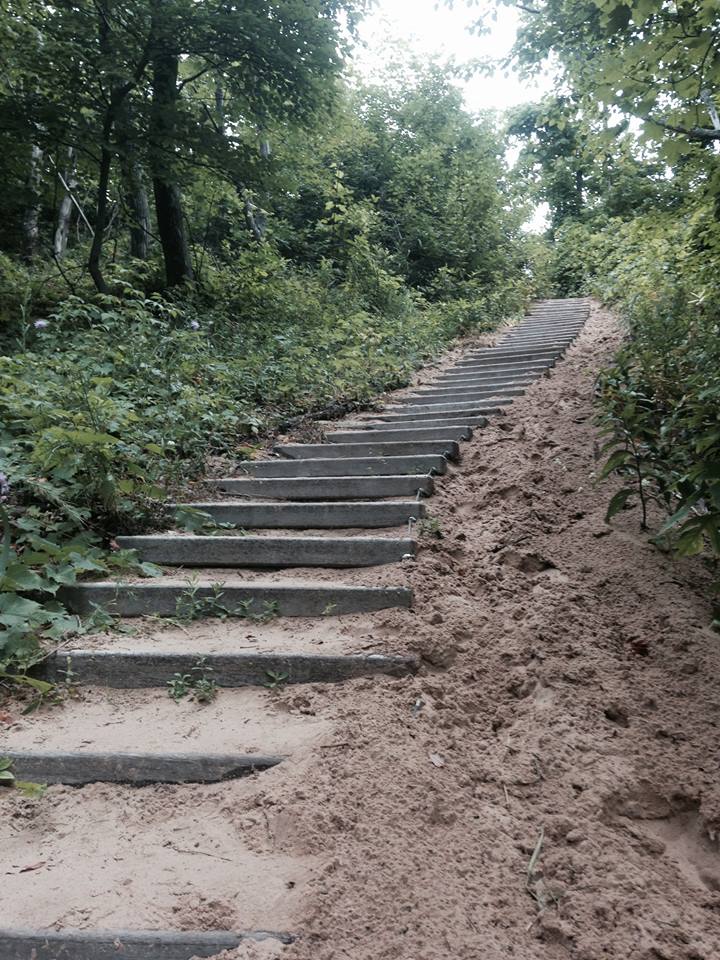
Nationally recognized trail system extending through 8 states, the North Country Trail access points are a great spot for hiking throughout Manistee County. Enjoy the Upper Manistee River Trailhead near the Manistee River Trail where you will hike your way through the dense hardwoods high atop the Manistee River bluffs. You can also head down to the Udell Rollways trailhead near Big-M and enjoy a hike through the low flats and rolling hills.
Difficulty/Hiking/Biking Tips
The North Country Trail has a diverse set of terrain for all skill levels. It runs through our entire county and has many access points to start or end your trek.
The North Country Trail was recently granted National Park status.
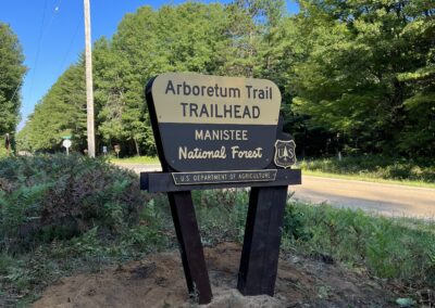
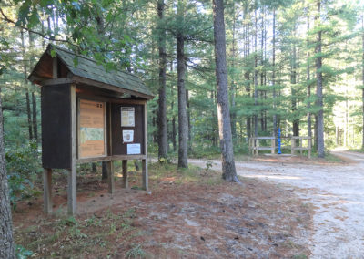
Trailhead Locations
North Country Trail, Manistee, MI
Major Trail Access Points on the North Country Trail
Common Access Points – download NCT map for details
– Marilla Trailhead (near Hodenpyl Dam)
– Upper River Road Trailhead (Off Coates Highway)
– Highbridge River Access (Off High Bridge Road South of Brethren)
– Udell Trailhead (West of Wellston on M55)
– Nine Mile Bridge Road (Off Udell Hills Road)